



Photo: Pudelek · CC BY-SA 3.0
Curtea Veche — Old Princely Court & Church of St Anthony
1559, Mircea Ciobanul. The oldest church standing in Bucharest and the coronation church of the Wallachian princes.


Religions 360°
Bucharest is not a city with one monument. It is a city where four or five religious regimes were laid over each other and then partly erased — and where the erasure is as legible as what survives: Ottoman-tributary Wallachia, the Phanariot Greek century, the Western turn after 1830, the interwar national church, and the 1980s demolitions. This guide is organised so that the layers stay visible.
Forty-two sites, each with a note on why it is worth an hour. Everything is inside the city, reachable on foot or by a short taxi ride from the congress venues — and nothing here is on a standard tourist itinerary except by accident.
1Two hours: the Old Court and the 17th–18th c. core
Curtea Veche church → Old Court Museum → Manuc's Inn → Bărăția → St George the New and Kilometre Zero → Doamnei → Colțea → Suțu Palace. Everything is within 800 m. Do this first; it sets the frame for the rest.
2Half a day: the demolition line
Antim Monastery → Schitul Maicilor → Mihai Vodă (find the ramp) → the Uranus slope → Palace of the Parliament perimeter → Sfinții Apostoli → Domnița Bălașa. Walk it rather than taking taxis: the point is the seam between what was kept and what was cleared.
3Half a day: Jewish Bucharest
Choral Temple → Great Synagogue and the Holocaust exhibition → Museum of Jewish History (Holy Union Temple) → State Jewish Theatre → the empty blocks between them. Then, if you have the afternoon, Bellu Orthodox and Catholic plus the Sephardic and Ashkenazi cemeteries on Șerban Vodă (tram or 15 min taxi).
4Half a day, north: the collections
Museum of the Romanian Peasant → Village Museum → Herăstrău. Both are on the same axis, 10 minutes apart by taxi or metro (Piața Victoriei → Aviatorilor).
Sunday morning, 20 September: Orthodox liturgy runs roughly 08:00–11:00 — all downtown churches and the Patriarchal Cathedral for the full hierarchical rite. Friday evening and Saturday morning at the Choral Temple for the Shabbat service — contact the Federation first.
Filter by category; choose a site from the list or the map for its story and a Google Maps link.
Photo: Pudelek · CC BY-SA 3.0
1559, Mircea Ciobanul. The oldest church standing in Bucharest and the coronation church of the Wallachian princes.
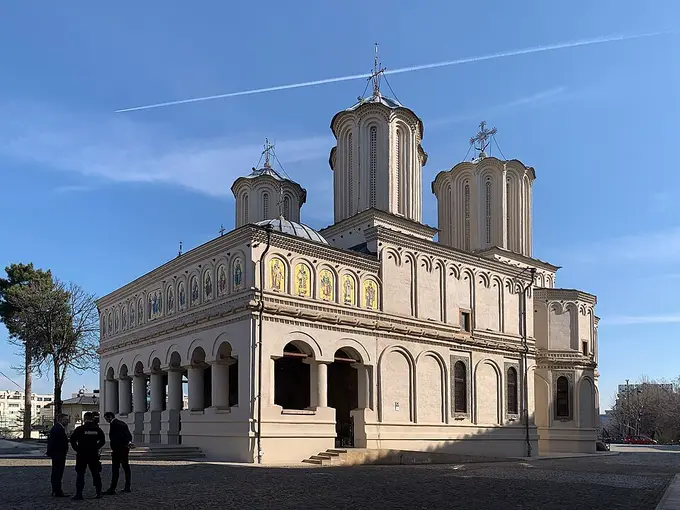
Photo: Chainwit. · CC BY-SA 4.0
1654–58, Constantin Șerban. Seat of the Romanian Orthodox Church; the hill also holds the Patriarchal Palace and the old Chamber of Deputies.
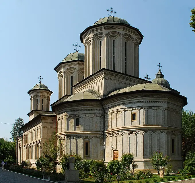
Photo: Andrei Stroe · CC BY-SA 3.0 ro
Founded 1568, rebuilt 1614 after an Ottoman sacking. A hilltop monastic precinct with the seminary attached.
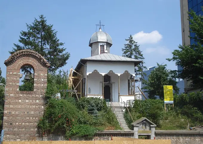
Photo: The original uploader was Pixi at Romanian Wikipedia. · CC BY 2.5
A tiny 18th-c. chapel below Radu Vodă, attached by legend to the shepherd Bucur said to have founded the city — a case study in invented origins.
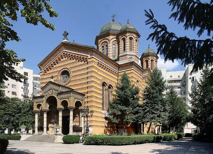
1881–85, Alexandru Orăscu. Neo-Renaissance/Brâncovenesc revival — Romanian nation-building translated into church architecture.
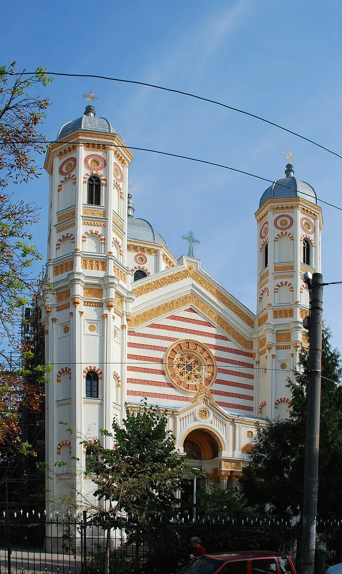
Photo: Andrei Stroe · CC BY-SA 3.0 ro
1768, Scarlat Ghica. The largest Phanariot-era church in the city and a Ghica family necropolis.
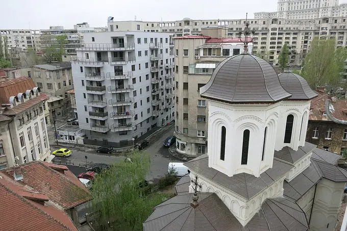
Photo: Munteanu Anca · CC BY-SA 4.0
1636, Matei Basarab, on a 16th-c. foundation. A quiet survivor at the edge of the demolition zone.
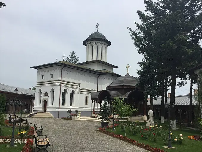
Photo: Biruitorul · CC0
16th c., Petru cel Tânăr and Matei Basarab; site of the first printing press in Bucharest (1582). Fortified precinct by Lake Colentina.
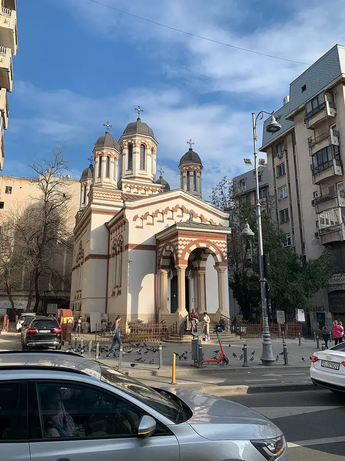
Photo: Chainwit. · CC BY 4.0
The goldsmiths' (zlătari) guild church on Calea Victoriei, rebuilt in 1850–1852 and painted by Gheorghe Tattarescu. Pilgrims come for the relics of St Cyprian; the church now stands wedged between interwar blocks after the avenue's successive widenings.
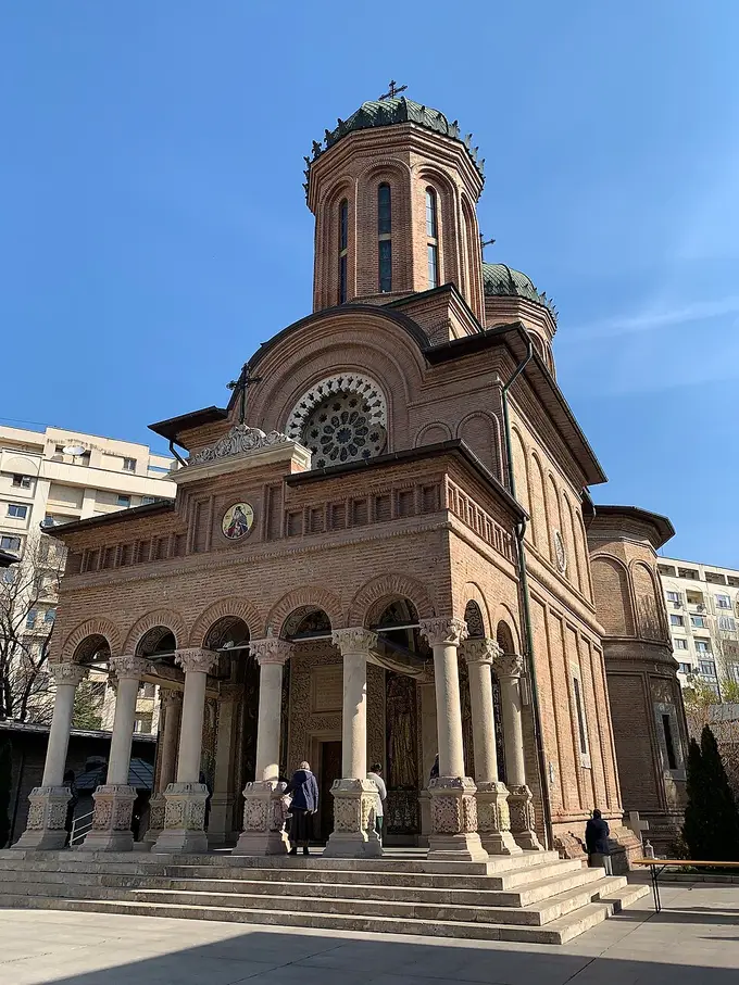
Photo: Chainwit. · CC BY-SA 4.0
1713–15, founded and designed by Antim the Iberian — Georgian-born metropolitan, printer, martyr. Moved 20 m on rails in 1985.
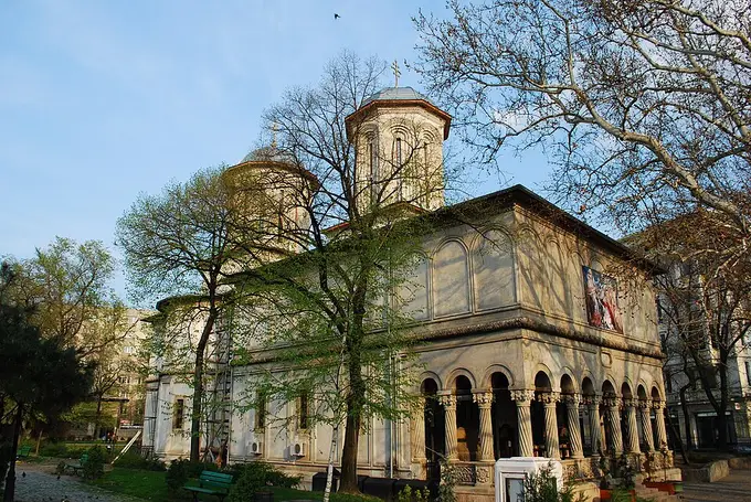
Photo: Andrei Stroe · CC BY-SA 3.0
Constantin Brâncoveanu's foundation and his burial place, unmarked until 1914. Kilometre Zero of Romania stands outside.
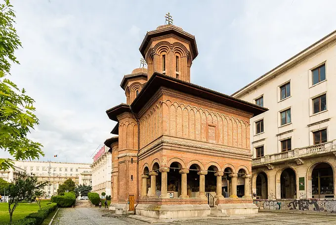
Photo: Diego Delso · CC BY-SA 4.0
1722, Iordache Crețulescu and Safta Brâncoveanu. Brick Brâncovenesc facade and a 1930s Tattarescu-school repainting; survived the 1980s only by intervention.
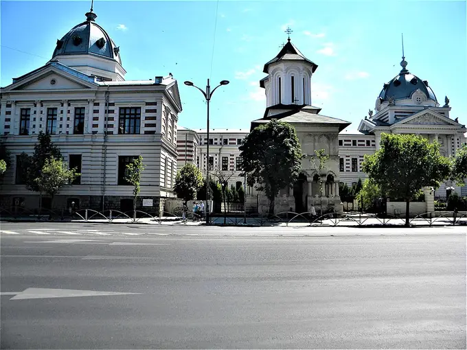
Photo: Britchi Mirela · CC BY-SA 3.0 ro
1701–15, Mihai Cantacuzino. Church, hospital and school as one charitable foundation — the earliest hospital in Bucharest.
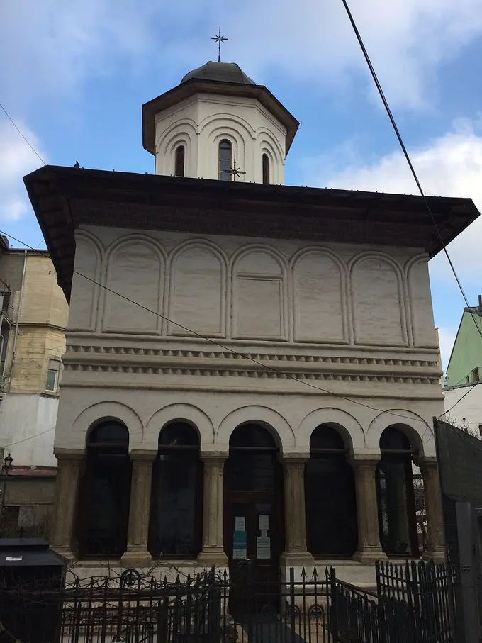
Photo: Biruitorul · CC0
1683, founded by Maria Doamna, wife of Șerban Cantacuzino. Porch frescoes by Constantinos, the painter of Hurezi.
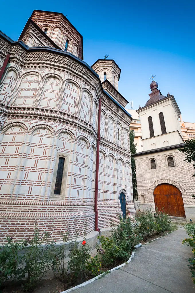
Photo: Mihai Petre · CC BY-SA 3.0 ro
1594, Michael the Brave. In 1985 the church was rolled 289 m downhill on rails and walled in behind apartment blocks; its monastic buildings were destroyed.
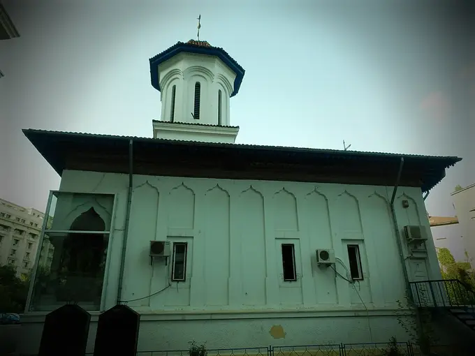
Photo: Stefan Jurca from Munich, Germany · CC BY-SA 2.0
1726. Moved 245 m in 1982 to clear the Uranus site; now stranded among ministries.
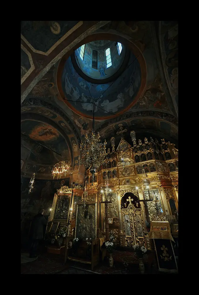
Photo: fusion-of-horizons · CC BY 2.0
1758. Moved 55 m in 1982 and turned to face a different street — the least-known of the relocated churches, and the easiest to read as a physical operation.
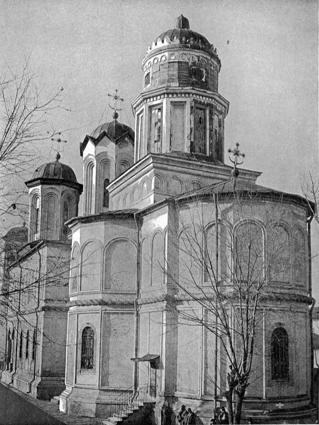
Photo: Unknown authorUnknown author · Public domain
The largest monastic ensemble in South-East Europe (1716–22), used as a prison, then dynamited in 1986. The pit became a wetland and is now a nature park.
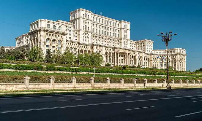
The 1984–89 Civic Centre erased a whole quarter and some two dozen churches. Read it as the negative space around every displaced church on this map.
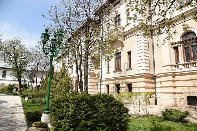
Photo: Rakoon · CC0
Șerban Cantacuzino's 1679 monastery; the church was demolished in 1984 and rebuilt on its footprint in 2009. Museum visits are by advance booking.
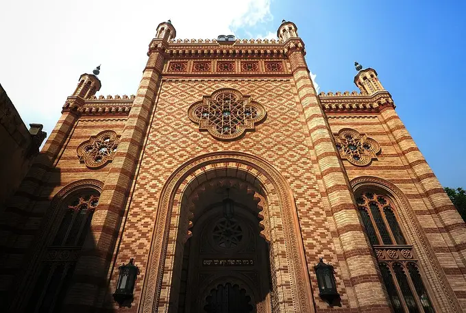
Photo: Ștefan Jurcă from Munich, Germany · CC BY 2.0
1857–66, a Moorish-revival copy of Vienna's Leopoldstädter Tempel. The central synagogue of Romanian Jewry and the seat of the Federation.
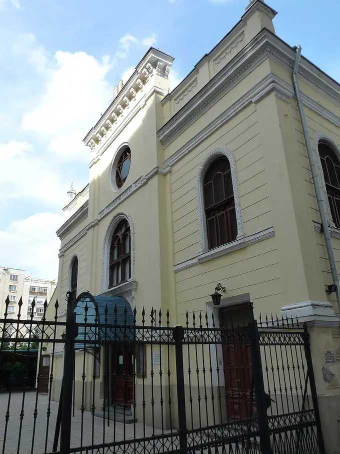
Photo: Andrei Stroe · CC BY-SA 3.0 ro
1845, Polish-Ashkenazi rite, rococo repainting of 1936. Now houses the memorial exhibition on the Holocaust in Romania.
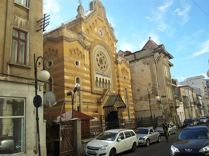
Photo: Cristian Chirita · CC BY 3.0
An 1836/1850 synagogue turned museum: community records, ritual objects, and the topography of a quarter mostly demolished.
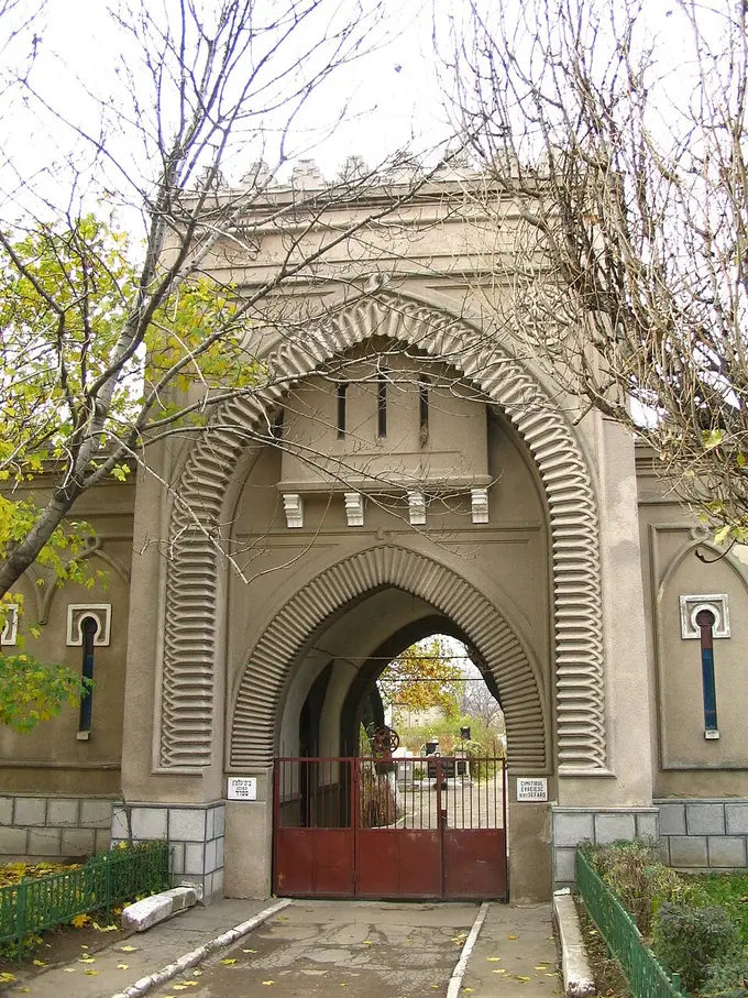
Photo: Andrei Stroe · CC BY-SA 2.5
Two Jewish burial grounds immediately beside Bellu — Sephardic and Ashkenazi side by side, with the epigraphy and the rite difference legible in the stones.
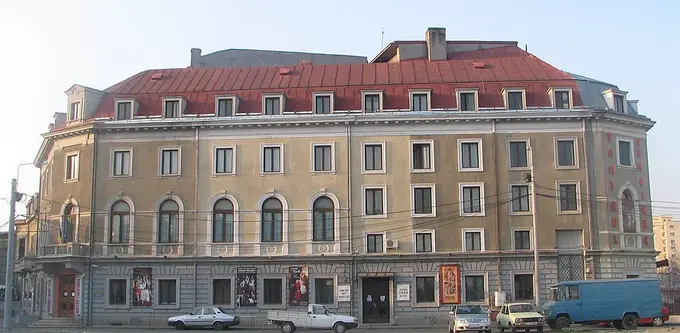
Photo: CC BY-SA 3.0
Founded 1948 out of the interwar Yiddish stage; still plays in Yiddish with translation. The surviving institutional heart of the old Văcărești–Dudești quarter.
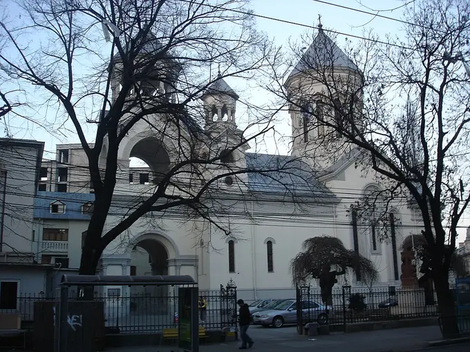
Photo: Luka Jačov at English Wikipedia · Public domain
1911–15, modelled on the cathedral of Etchmiadzin. The surrounding streets are the best-preserved 19th-c. merchant quarter in the city.
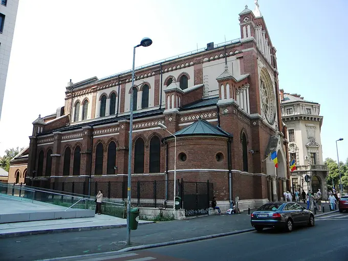
Photo: Britchi Mirela · CC BY-SA 3.0 ro
1873–84, Friedrich Schmidt of Vienna. Now boxed in by a tower block — a famous Romanian heritage-law case.
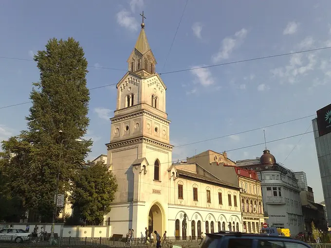
Photo: Korinna · CC BY-SA 3.0 ro
The Latin-rite community's site since at least the 1400s: Catholic Bucharest before the Catholic cathedral, rebuilt after fire and earthquake.
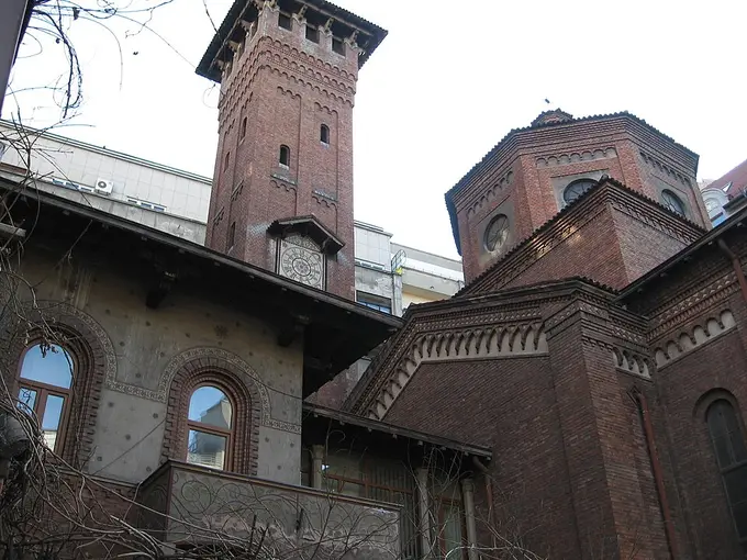
Photo: Olahus · Public domain
1915–16, neo-Romanesque by Mario Stoppa — the church of the Italian labour migration that built much of modern Bucharest.
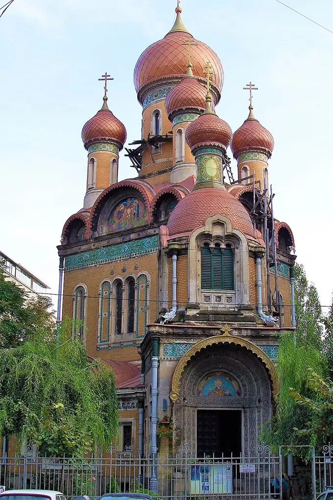
Photo: Philipp Strathausen · CC BY-SA 2.5
1905–09, built by the Russian legation with Tsarist funds — seven gilded onion domes, Moscow-style, a block from the university.
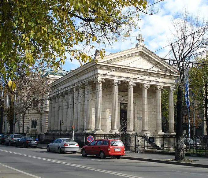
Photo: The original uploader was Alesia17 at Romanian Wikipedia. · CC BY-SA 1.0
1890s neoclassical temple front, built by the Greek colony — the visible afterlife of the Phanariot century.
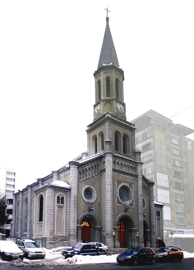
Photo: Cristian-Mihail Miehs --Miehs (discuție) 15 aprilie 2013 08:33 (EEST) · Public domain
1851–53 neo-Gothic hall of the German community, in the courtyard behind Calea Victoriei.
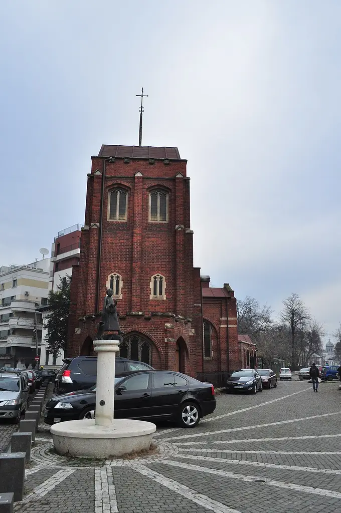
Photo: Joe Mabel · CC BY 3.0
1914, built for the British colony and the Anglo-Romanian dynastic connection; still an active English-language parish.
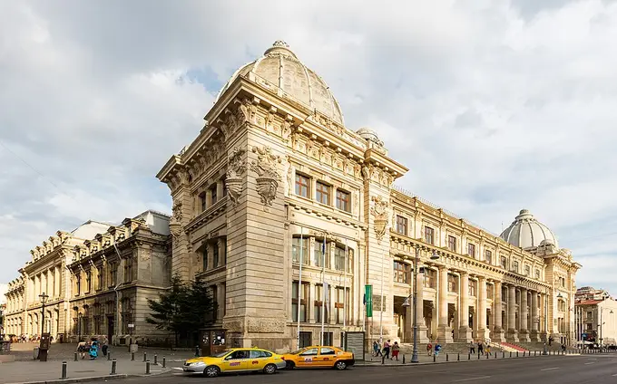
Photo: Diego Delso · CC BY-SA 4.0
The full plaster cast of Trajan's Column, the Pietroasele treasure, and the Lapidarium — the state's own account of its religious past.
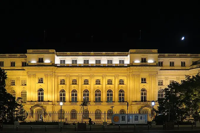
Photo: Alexandru Panoiu from Bucharest, Romania · CC BY 2.0
Icons, embroidered epitaphioi, silver and whole iconostases, much of it salvaged from monasteries dissolved or demolished.
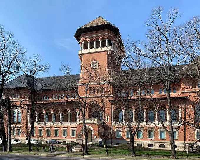
Photo: Chainwit. · CC BY-SA 4.0
Horia Bernea's post-1990 rehang: crosses, glass icons and a reassembled wooden church staged as theology rather than ethnography. Communism exhibit in the basement.
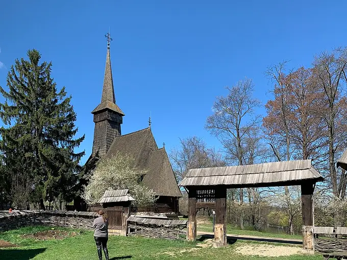
Photo: Chainwit. · CC BY-SA 4.0
1936, out of the Gusti sociological school. Translated wooden churches and homesteads — an open-air archive of vernacular religion.
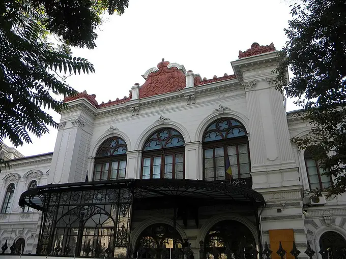
Photo: Britchi Mirela · CC BY-SA 3.0 ro
The city's own museum in an 1830s boyar palace: maps and images of the Bucharest that the 20th century removed.
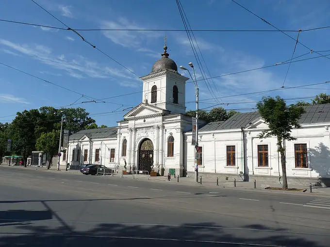
Photo: Andrei Stroe · CC BY-SA 3.0 ro
1858 onward: funerary sculpture, the writers' corner, and the chapel — 19th-c. Romanian ideas of death, nation and memory in one enclosure.
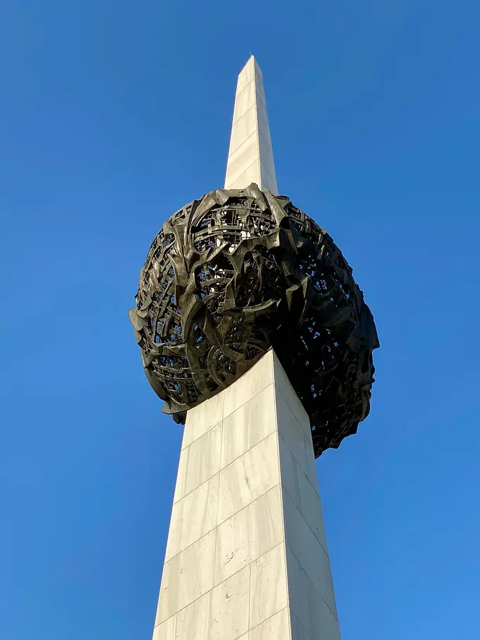
Photo: Josep Renalias Lohen11 · CC BY 4.0
The former Central Committee balcony, the Royal Palace, Kretzulescu church and the 2005 memorial — one square, four regimes.
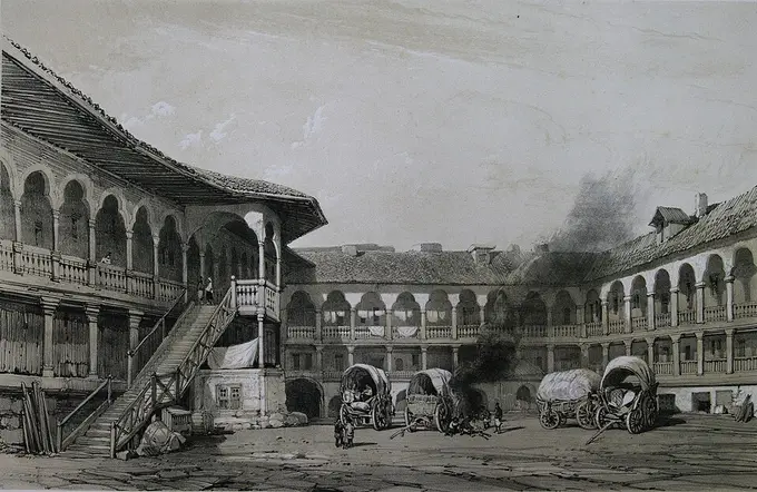
Photo: Michel Bouquet · Public domain
1808, built by the Armenian dragoman Manuc Bei — the last surviving caravanserai of Ottoman-era Bucharest, next to the Old Court.
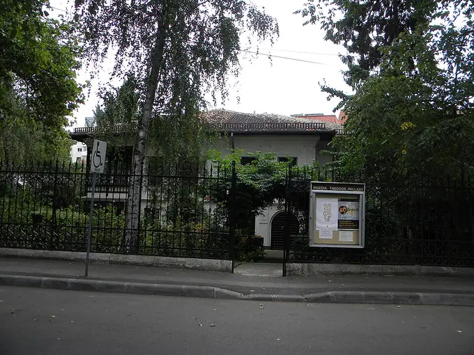
Photo: Britchi Mirela · CC BY-SA 3.0 ro
1760, the oldest surviving house in Bucharest, built by an Armenian family — domestic architecture from before the Western turn.
Photographs via Wikimedia Commons — the credit accompanies each image.